Falaise d'Aval in Etretat: visitor guide
Falaise d'Aval in Etretat offers views of Porte d'Aval, L'Aiguille and the panoramic trail above the Channel. Use this guide for access, map links, viewpoints, photo spots and practical visit advice.
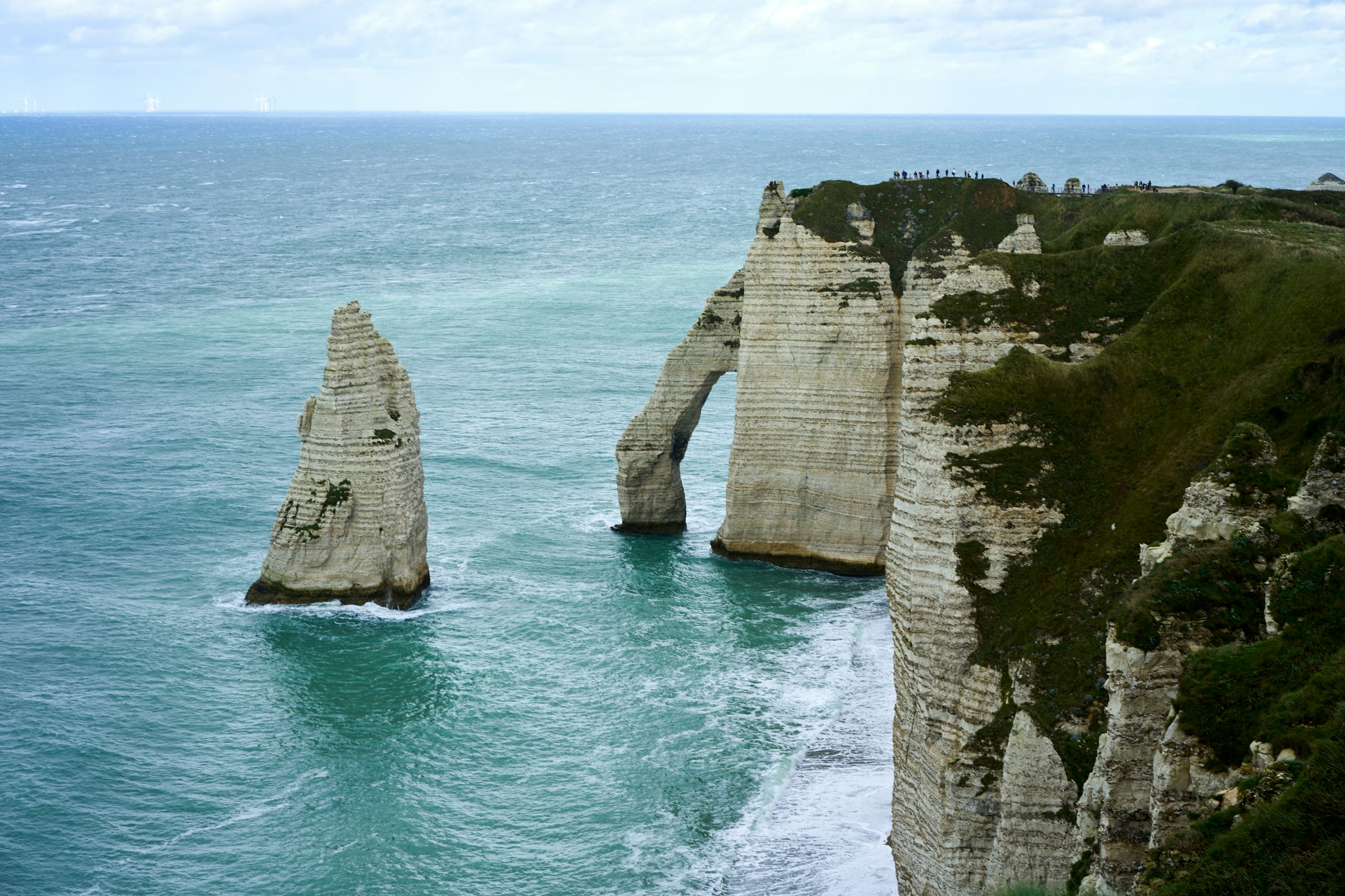
Why it's the essence of Étretat
An iconic landscape to admire from permitted areas.
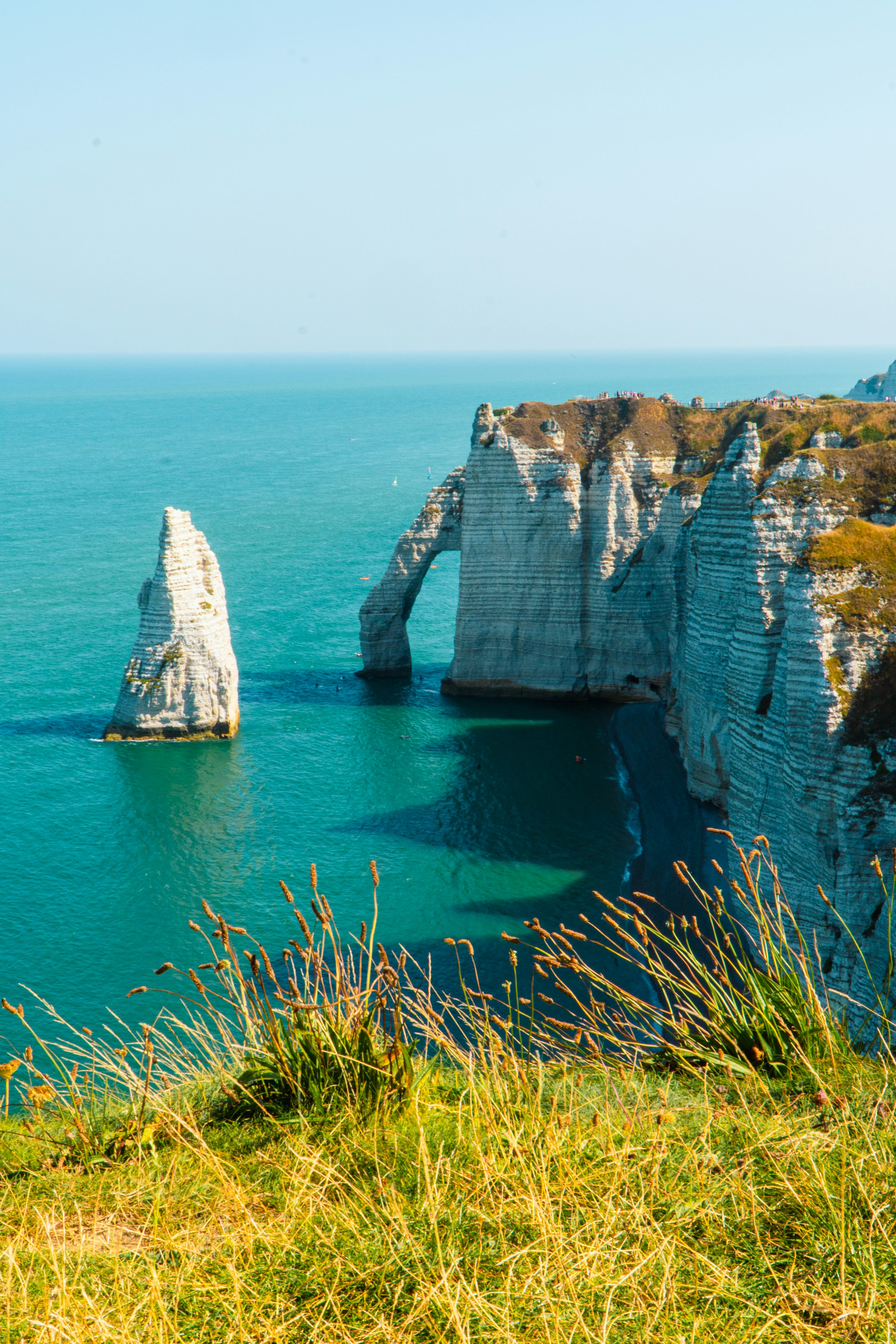
The marine erosion arch is like a natural 'doorway', presenting completely different layers under different lighting.
The 'Needle' stands in the sea, a stable anchor point in photographic composition: wide-angle for scale, telephoto for texture.
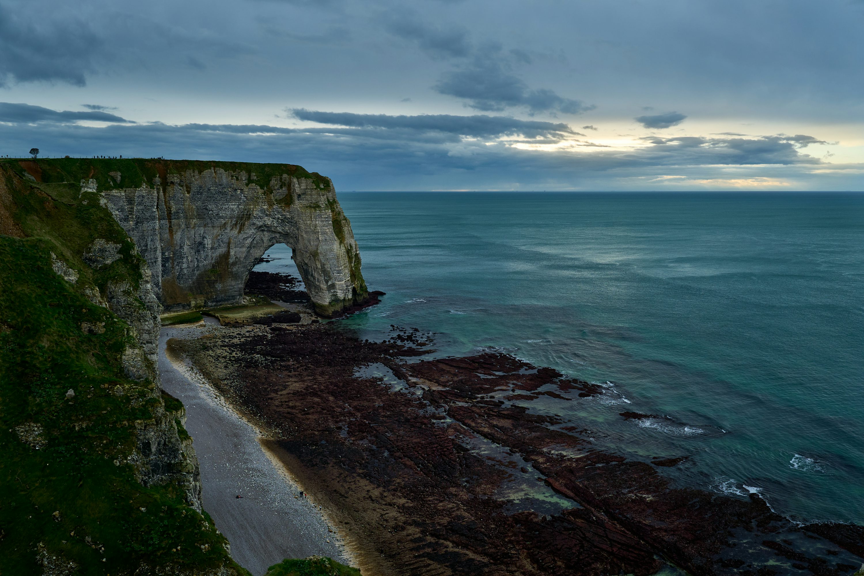
Low tide does not permit access beneath the cliffs. Obey signs and barriers.
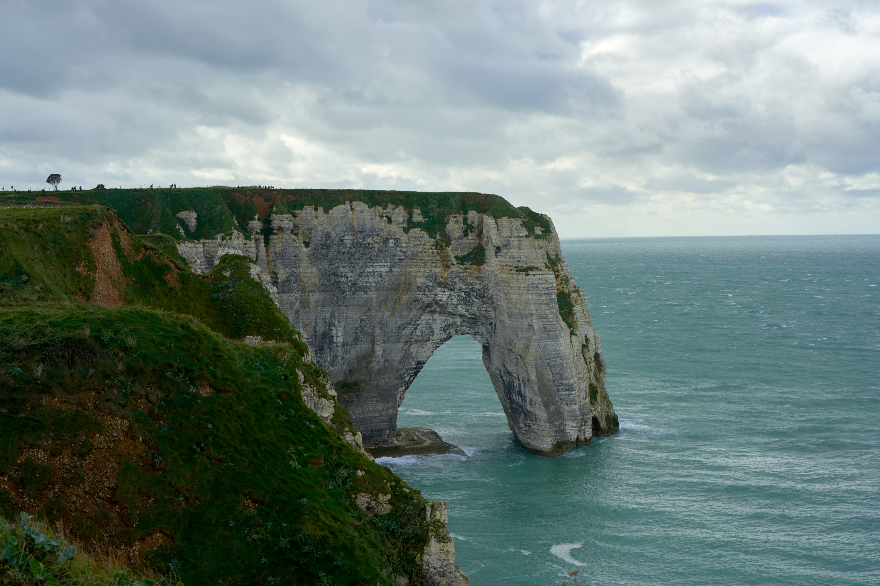
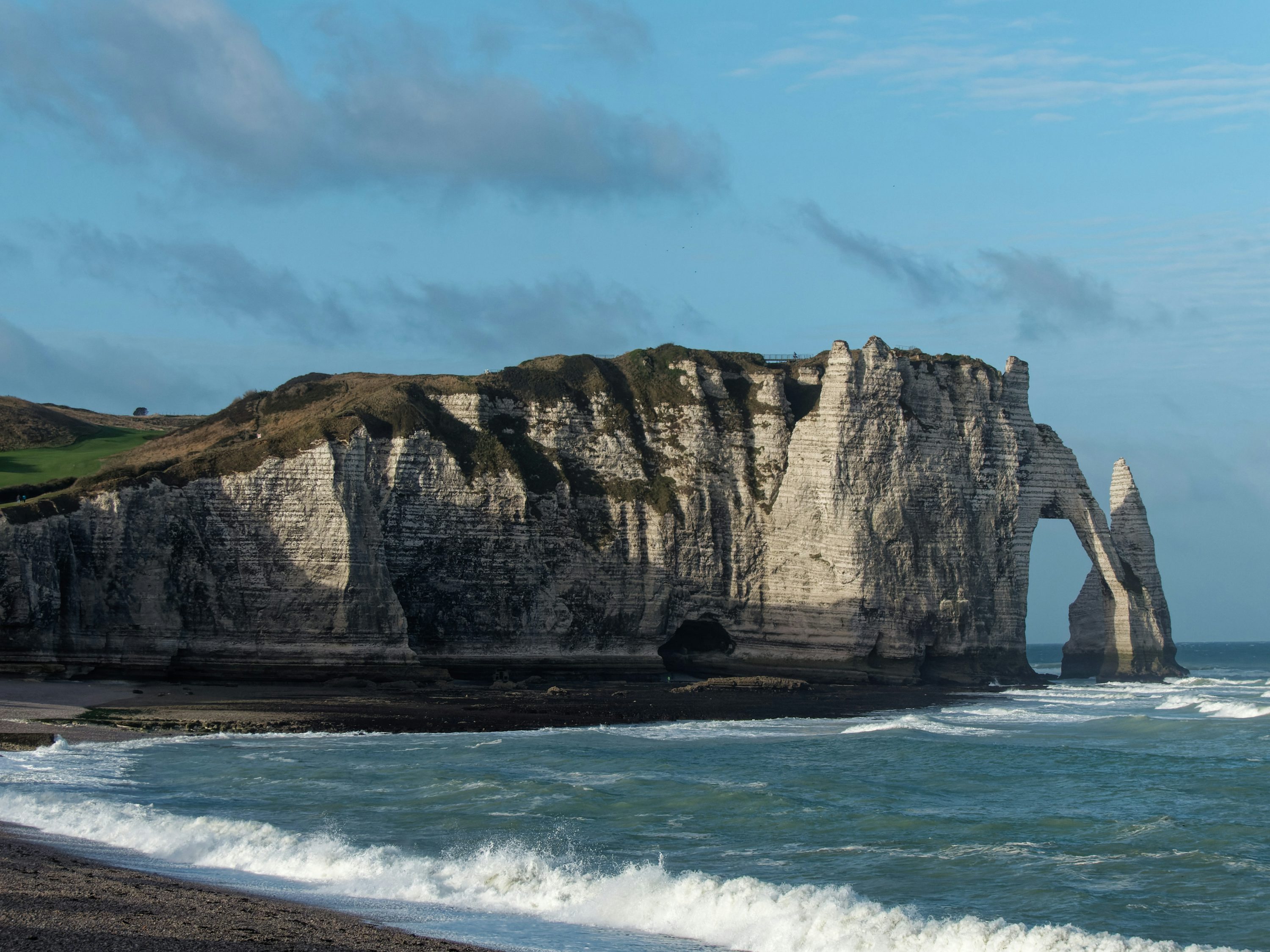
Photos
How to visit comfortably
Plan around permitted access and instructions on site.
Half-day route (relaxed)
- 1First take a distant view from the beach sideView the arch, Needle and sea from permitted areas.
- 2Stay in permitted viewing areasDo not enter caves or cliff-foot passages, even at low tide.
- 3Go up the cliff top trail to see contours and lightThe cliff top is more suitable for panoramic views and sunset light; pay attention to your position and edge distance when it's windy.
Access restrictions
Municipal restrictions apply at all times. Low tide does not lift closures. Follow signs and permitted paths.
Shoes and Walking
Pebble roads are more strenuous and slippery, non-slip shoes are recommended; photographers should bring a telephoto lens and windbreaker.
Comparison: Plage d'Étretat vs Falaise d'Aval
Visitor Guide
Commonalities
- Both are part of Étretat's iconic white chalk cliff landscape.
- These natural areas are subject to erosion and access restrictions.
- Both are famous for their unique pebble beaches and stunning sunset light.
Differences
- Plage d'Étretat mainly refers to the wide public pebble beach, better suited for relaxation, listening to waves, and panoramic views.
- Falaise d'Aval focuses on the southern cliffs, with the famous arch (Porte d'Aval) and Needle (L'Aiguille), offering a more dramatic and adventurous feel.
- Falaise d'Aval offers hiking trails at the cliff top to overlook the bay from above, while the beach is mainly at the bottom.
⚠️ Tips
- Pebble collecting is strictly prohibited on the beach (fine applies); some areas at the base of the cliffs are officially off-limits due to rockfall risk.
- Do not reach the arch along the cliff foot: restrictions also apply at low tide.
- If you want to visit both, it's recommended to first enjoy the panoramic view from the beach, then hike up to the Falaise d'Aval viewpoint to photograph the sunset.
Google Maps
4.8/5 · 17,595 reviews · Checked on 2026-11-02
Rating and review count shown by Google Maps on the date above; these figures change. Check Google Maps for current information. No visitor reviews are reproduced here.
View More Google Maps ReviewsGoogle advertising and the embedded Google Maps are off by default. Your choices are saved in this browser. Language is also stored locally; theme stays in memory during the visit. Cloudflare performance measurement collects and sends visit and performance data to Cloudflare. The choices below apply only to Google advertising and Google Maps and do not control this collection.
Privacy and external servicesNatural site: access depends on closures and instructions on site.
Backlight or side backlight will emphasize cliff texture; cloudy days are better for a cold-toned cinematic feel.
Cliff top winds are strong and edges are loose, please keep your distance; do not approach the edge with your back to the sea wind when taking photos.
Data and Citations
In order to maintain credible information, we only cite publicly accessible pages.